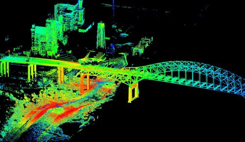
The USGS is using a new technology to 3-D map urban flooding from Hurricane Isaac. The technology is terrestrial lidar (LIght Detection And Ranging) and it will be used in a few urban areas in …
Continue Reading about 3-D Mapping Hurricane Isaac Flooding →