 Living with Water is a five weekend series focusing on flooding along the Red River in North Dakota.
The series started with “Living with Water: Red River living since settlement”, which examined the history of the river in relation to the people who have lived along it.
In historical times, trappers and early settlers mentioned the spring flood. The first pictures of Red River flooding were taken in 1897, during the second largest flood on record.
After the 1950 flood, large earthworks were put into place to prevent widespread flooding. They had mostly contained the river until the 1997 flood.
The last three years have seen very high water conditions.
The second installment, “Living with Water: Geology behind the flooding Red River”, looks at the regional topography. The area is very flat, which means that once the waters overflow the riverbank, they just spread out for miles.
The soil is clay and absorbs water slowly and the river flows north into colder areas, which slows the drainage in springtime.
All this has consequences for flood planning. Every prevention measure affects another area and must be planned for.
The videos are less than three minutes each, but very informative. Living with Water promises to be an interesting series.
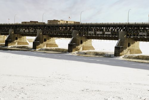
Dam along the Red River via Shutterstock
You must be logged in to post a comment.